
About
Water quality is a crucial source of data for the Limpopo River Basin Digital Twin, directly informing environmental flow compliance, pollution alerts and ecosystem health monitoring. Yet conventional laboratory testing is too slow and costly to scale across an entire region.
To address this, IWMI works directly with communities most affected by water quality issues, transforming them into empowered data providers. Citizen science networks, such as the Envirochamps, partner with IWMI’s longstanding collaborator Groundtruth to use simple but effective field tests for large-scale water quality monitoring.
How it works
To digitize citizen science data, the MiniSASS smartphone application was developed to collect readings, which involve recording the presence and absence of macroinvertebrate life in the water for example. The MiniSASS app uses the smartphone camera and leverages AI vision recognition to confirm the measurements taken by citizen scientists, automatically geo-tagging them and uploading them to cloud storage. It also serves as a hub for training content, sampling protocols, and navigation to monitoring sites.
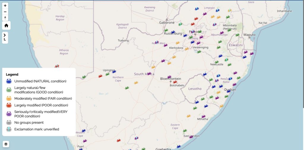
Interactive map of water quality readings made using the MiniSASS app. Source: minisass.org
Next steps
With funding from Belgian international cooperation agency Enabel, IWMI is expanding this approach to connect citizen science groups across multiple southern African countries , delivering training in digital monitoring tools and establishing a regional data pipeline feeding directly into the Water Navigator ecosystem.
Through research and a partnership with the UNICEF Yoma, IWMI is exploring how to incentivize local communities to participate by recognizing their skills in a digital CV and providing tangible benefits for the data they provide. This creates a sustainable, inclusive model where community-led monitoring strengthens transboundary cooperation, supports SDG 6 and SDG 13 targets and builds climate resilience from the ground up.