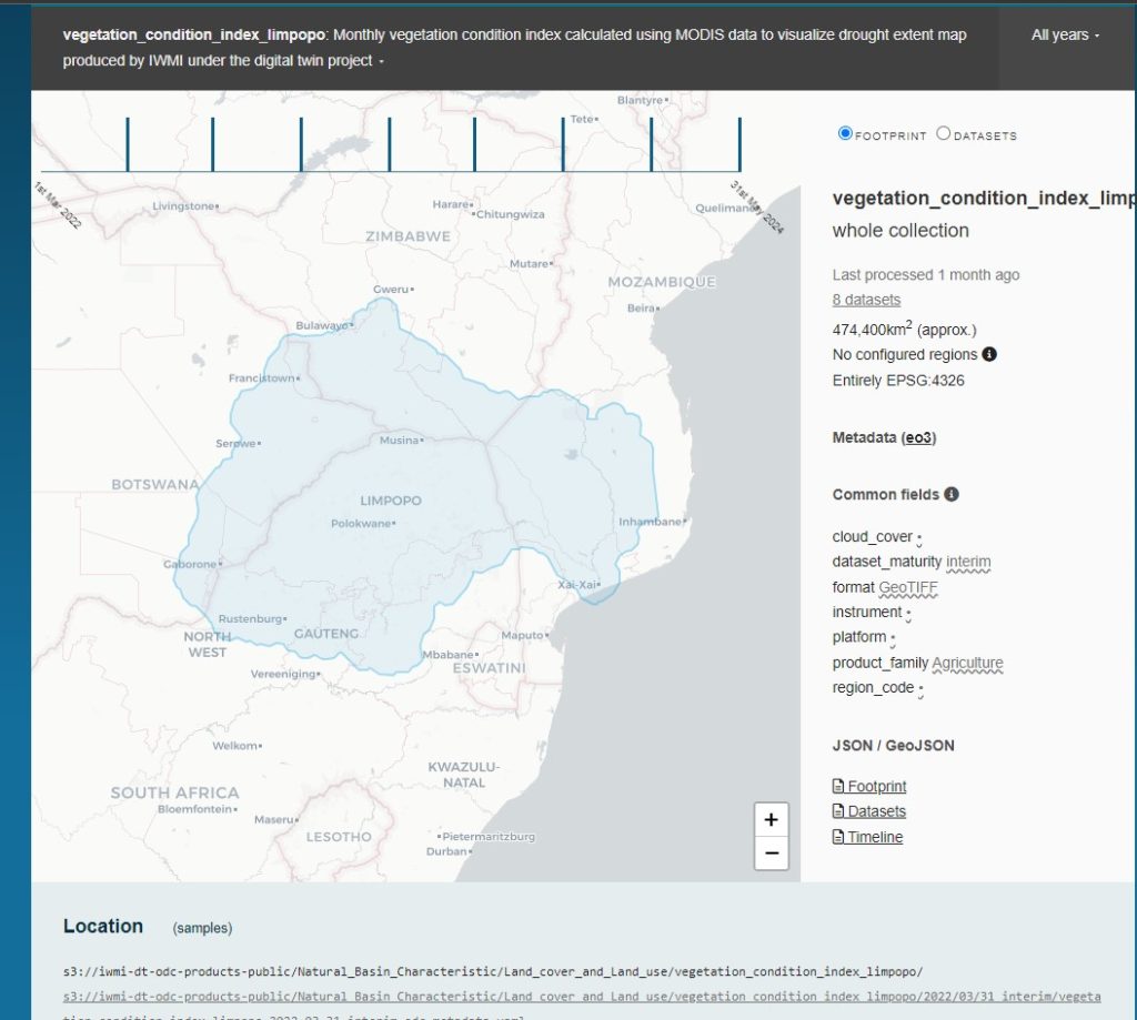
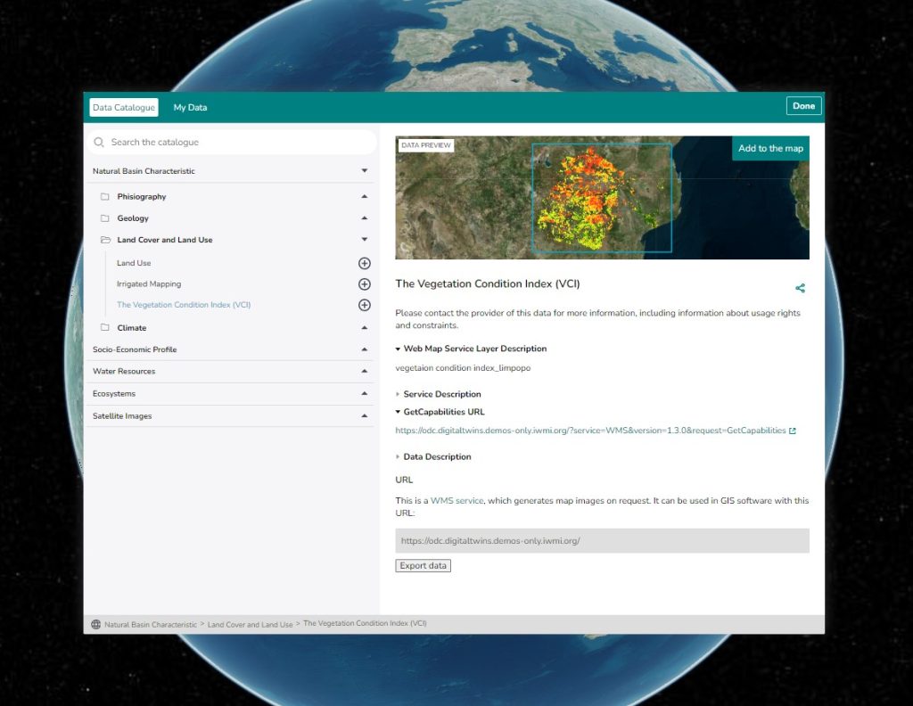
The Open Data Cube (ODC) is a critical component of the Limpopo River Basin Twin, designed to facilitate efficient access, storage, and analysis of vast amounts of geospatial data. The ODC enables stakeholders to track and assess critical environmental variables, such as drought hazards, over both space and time.
Key Features of the ODC
Multidimensional Data: The ODC organizes data across three dimensions—location (longitude and latitude) and time—allowing users to explore how environmental variables change across the region and over time.
Variable Tracking (e.g., Drought Hazard): The ODC is particularly useful for monitoring variables related to water management and environmental risks, such as drought severity. By analyzing a stack of geospatial data across multiple timeframes, users can uncover important insights into the dynamics of these variables.
Comparison and Pattern Analysis: With the ODC, stakeholders can easily compare how variables like drought hazards differ across various regions within the basin and track long-term trends. This capability is essential for identifying patterns, predicting risks, and supporting sustainable water management.
Seasonal Shifts and Insights: The ODC allows users to observe seasonal shifts in critical variables, providing a deeper understanding of how factors like drought fluctuate throughout the year. This can inform decision-making processes related to water allocation and resource management.
Optimized for Performance
The ODC is optimized for high performance, offering fast computation and multidimensional queries across large datasets. Whether you’re analyzing data from satellite imagery, meteorological stations, or other environmental sources, the ODC ensures efficient data processing and storage.
Future Vision
The integration of the ODC with the Limpopo River Basin Twin will continue to evolve, offering more real-time monitoring capabilities and enhanced decision support tools for stakeholders involved in managing the basin’s water resources.